Modern defense operations are increasingly shaped by the complexity of terrain, where the ability to accurately interpret elevation, landforms, and obstacles can determine mission success or failure. In environments ranging from mountainous regions and dense forests to urban battlefields and desert landscapes, traditional topographic maps no longer suffice. Defense forces require precise, real-time digital terrain data to navigate and operate efficiently.
Digital Elevation Models (DEMs) and Digital Terrain Models (DTMs) have become indispensable in modern military strategy. These geospatial tools provide defense agencies with the ability to analyze terrain at multiple scales, optimize tactical movements, enhance reconnaissance, and execute precision strikes. From ground troop deployments to aerial operations, integrating DEM and DTM into military planning ensures superior situational awareness and operational efficiency.
This blog explores how DEM and DTM contribute to strategic and tactical military decision-making, covering critical aspects such as battlefield awareness, infrastructure development, targeting accuracy, and AI-driven autonomous operations.
Understanding the Geospatial Foundations of Modern Defense
DEM and DTM: What Sets Them Apart?
While both Digital Elevation Models (DEM) and Digital Terrain Models (DTM) serve as foundational geospatial datasets, their applications and data structures differ:
- Digital Elevation Model (DEM): Represents the raw elevation data of the Earth’s surface, excluding detailed terrain attributes such as vegetation, buildings, and other obstructions. DEMs are often derived from satellite imagery, LIDAR, or radar systems and are used for general elevation analysis, flood modeling, and large-scale operational planning.
- Digital Terrain Model (DTM): A more refined version of a DEM, incorporating additional topographic information such as contour lines, breaklines, and hydrological features. DTMs are particularly useful for terrain classification, slope analysis, and route optimization, making them crucial for military maneuvers in difficult terrain.
Understanding the terrain at a granular level allows defense forces to plan, predict, and respond with greater accuracy in high-risk environments.
Battlefield Awareness: Leveraging DEM & DTM for Tactical Operations
Elevation Intelligence for Defensive and Offensive Strategies
One of the fundamental principles of warfare is terrain advantage—owning the high ground offers superior visibility, better defensive positioning, and a strategic edge in combat. DEM and DTM data provide detailed elevation insights that support:
- Identifying vantage points for surveillance and early threat detection.
- Optimizing troop positioning to control high-ground advantages in battle scenarios.
- Predicting enemy ambush sites based on natural terrain formations such as valleys, ridges, and chokepoints.
For example, in mountain warfare, forces must carefully plan approaches, ensuring supply lines remain secure while avoiding overexposure to hostile fire. DTMs enable forces to simulate battle conditions and prepare accordingly.
Route Planning and Troop Movement Optimization
In dense, terrain-heavy environments, poor navigation can compromise mission success. DEM and DTM datasets enable:
- Safe and efficient troop movement through elevation-aware pathfinding.
- Identification of natural obstacles such as cliffs, marshlands, or steep inclines that could slow down or endanger personnel.
- Improved vehicle maneuverability assessments, ensuring armored units and supply trucks can traverse terrain safely.
For instance, in jungle warfare, forces need to navigate through dense vegetation, making direct paths impossible. With DTMs, planners can assess slope gradients, forest density, and hydrological conditions to optimize movement and avoid unnecessary risks.
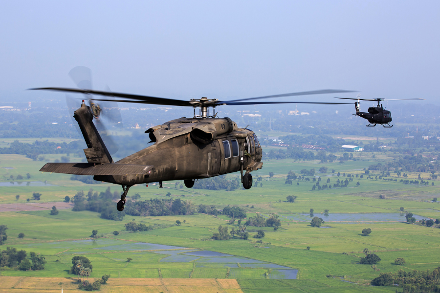
Airborne Operations and UAV Deployment
Air support, UAV reconnaissance, and drone-based surveillance require precise altitude and terrain data to ensure mission efficiency. DEM and DTM play a vital role in:
- Determining UAV flight paths that minimize detection risks while maximizing coverage.
- Enhancing line-of-sight calculations for aerial reconnaissance missions.
- Optimizing landing zone selection for paratroopers and airborne units.
For special forces operations, drone reconnaissance using DEMs allows teams to map out hostile zones, estimate risk levels, and execute rapid entry and extraction without unnecessary exposure.
Targeting, Artillery, and Precision Strikes Using DEM & DTM
Indirect Fire Calculations and Missile Guidance
Artillery and long-range missile systems rely on terrain data to ensure accurate targeting and reduced collateral damage. DEM and DTM are critical for:
- Adjusting firing angles to account for elevation differences.
- Calculating trajectory and impact zones based on terrain interference.
- Avoiding unintended obstacles such as ridges or urban structures that could obstruct or alter projectile paths.
For instance, in urban warfare, DTMs enable forces to analyze building heights, alleyways, and underground tunnels, ensuring precision in targeting without unnecessary civilian casualties.
Sensor and Radar Positioning for Surveillance
Military radar and surveillance systems depend on clear lines of sight to operate effectively. DEM and DTM assist in:
- Optimizing sensor placement for radar, thermal imaging, and electronic warfare detection systems.
- Assessing terrain-induced signal obstructions that could interfere with communications and detection.
- Enhancing satellite imagery interpretation by integrating real-time elevation adjustments.
For counter-drone operations, defense systems use DEM data to track UAV flight patterns, predict potential intrusion routes, and deploy countermeasures accordingly.
AI and Machine Learning Integration for Defense Operations
Autonomous Vehicles and AI-Driven Terrain Navigation
The future of defense operations is increasingly autonomous. DEM and DTM are now being integrated into AI-driven decision-making systems, allowing for:
- Automated route optimization for autonomous ground vehicles, reducing risk exposure for personnel.
- AI-enhanced predictive analytics for enemy movement based on terrain constraints.
- Drone swarm coordination using real-time geospatial data for synchronized aerial operations.
For example, in robotic warfare, unmanned ground vehicles (UGVs) rely on DTM-assisted AI models to navigate through war zones while avoiding terrain hazards.
Training Simulations and Digital Twin Battlefields
DEM and DTM play a crucial role in military simulations, where forces can train in realistic digital twin environments before deploying to actual battlefields. These simulations provide:
- Realistic combat training with accurate topographical features.
- Enhanced mission rehearsals, reducing on-ground errors.
- Tactical testing environments for strategizing against potential threats.
Through AI and geospatial intelligence, defense forces can now practice terrain-based scenarios before actual combat, improving preparedness and adaptability.
Humanitarian and Disaster Response Applications
While primarily used for military operations, DEM and DTM also support humanitarian missions, including:
- Disaster response planning for earthquakes, floods, and landslides.
- Civil evacuation route optimization in conflict zones.
- Post-battlefield terrain assessment for reconstruction efforts.
For instance, in post-war recovery operations, military engineers use DTMs to assess infrastructure damage, plan rebuilding efforts, and optimize resource allocation.
Conclusion: Envision Beyond’s Expertise in Geospatial Defense Solutions
The ability to map, analyze, and predict battlefield conditions is now a core requirement for defense forces operating in complex terrain. Envision Beyond specializes in delivering cutting-edge geospatial intelligence solutions that enhance decision-making at all operational levels.
Our expertise in terrain modeling, AI-driven geospatial analytics, and defense integration solutions ensures that military forces can:
- Optimize mission planning with high-precision elevation data.
- Enhance real-time surveillance with advanced DEM & DTM analysis.
- Improve targeting accuracy while minimizing risks.
By leveraging our advanced geospatial technologies, defense organizations gain a decisive operational edge in even the most challenging environments.
To learn more about how Envision Beyond can support your defense operations, visit us today.