Follow Us :


Get Started


Get Started


Get Started


Get Started
Observing the world involves utilizing high-resolution imagery for environmental monitoring, disaster response, and urban planning. Analysis through advanced geospatial solutions and location data supports informed decision-making in disaster management, infrastructure planning, and environmental monitoring, fostering innovation and sustainability. To secure these efforts, cUAS detect and mitigate unauthorized drone activity, ensuring overall security


We provide UAV, Anti-Drone, Satellite Imagery and Geospatial software & data solutions for defense & homeland security agencies to transform multi domain command and control frameworks to achieve right decisions
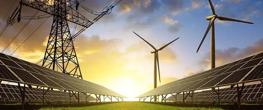
We provide UAV, Satellite Imagery, Geospatial Electric Utility Solutions and industry datasets to manage existing assets and build new ones

We provide drones, Satellite Imagery, Geospatial Telecom Solutions and industry datasets for network planning, optimization, maintenance, audit & performance
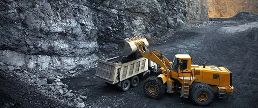
We provide drones, Satellite Imagery, Geospatial Mining Solutions and industry datasets to plan and implement sustainable mining practice

We provide UAVs, satellite imagery, geospatial solutions, and industry datasets to support sustainable farming, providing insights for crop health, optimizing resource allocation, and boosting yields.
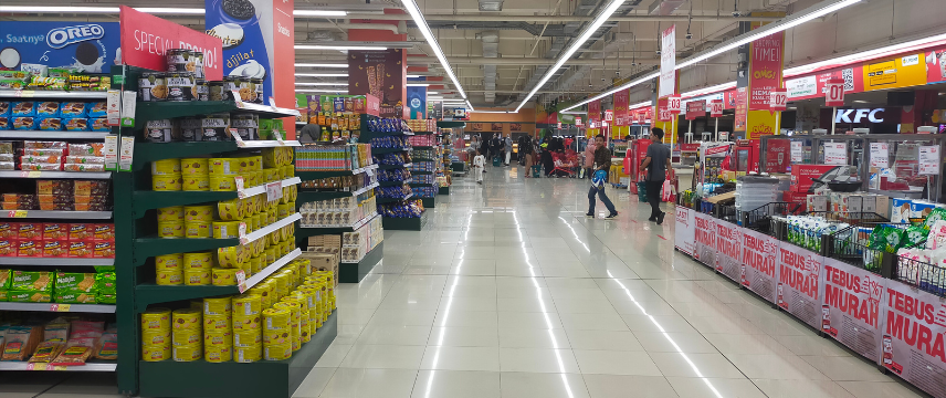
We provide geospatial solutions, and industry datasets to support Site Selection & Market Planning, Customer Targeting & Marketing, Supply Chain Optimization, In-store Experience and more

We provide UAV, Anti-Drone, Satellite Imagery and Geospatial software & data solutions for defense & homeland security agencies to transform multi domain command and control frameworks to achieve right decisions

We provide UAV, Satellite Imagery, Geospatial Electric Utility Solutions and industry datasets to manage existing assets and build new ones

We provide drones, Satellite Imagery, Geospatial Telecom Solutions and industry datasets for network planning, optimization, maintenance, audit & performance

We provide drones, Satellite Imagery, Geospatial Mining Solutions and industry datasets to plan and implement sustainable mining practice

We provide UAVs, satellite imagery, geospatial solutions, and industry datasets to support sustainable farming, providing insights for crop health, optimizing resource allocation, and boosting yields.

We provide geospatial solutions, and industry datasets to support Site Selection & Market Planning, Customer Targeting & Marketing, Supply Chain Optimization, In-store Experience and more


Defend and protect your airspace with cutting-edge technology using Counter Unmanned Aircraft Systems, ensuring a secure and shielded environment against unauthorized drone activities
against unauthorized airborne threats
against unauthorized airborne threats
against unauthorized airborne threats
Better and safer world using 24/7 all-weather monitoring for enhanced national security in defense, real-time SAR for efficient maritime resource coordination, persistent disaster response support, and high-resolution imagery for safety and productivity in mining and resources

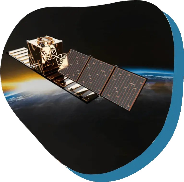

Better world through geospatial solutions empowers utilities for efficient asset management, network optimization, and customer engagement, ensuring reliability and environmental compliance. In mining, it supports exploration, mine planning, and safety monitoring, aiding community engagement and biodiversity conservation. In homeland security, geospatial solutions assist threat analysis, critical infrastructure protection, and emergency management, enhancing surveillance and intelligence for effective response and security.


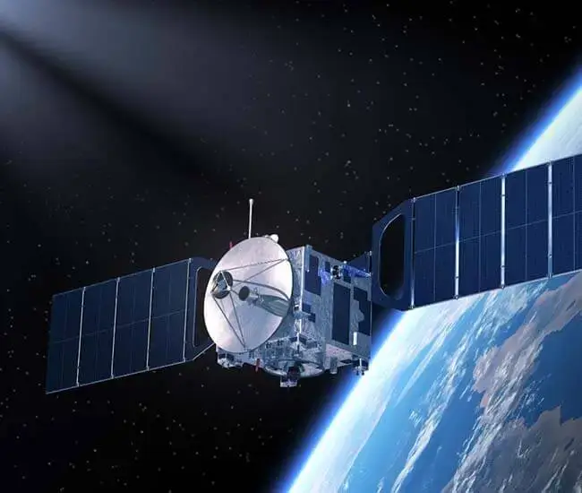

Creating a better world through the use of optical imagery for the improvement of agriculture, urban planning, and environmental monitoring. Similarly, achieving a better world through multispectral imagery for enhancing vegetation health assessment, mineral exploration, and environmental analysis.
