Follow Us :

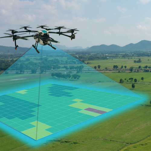
Simultaneous Localization and Mapping (SLAM) technology is transforming drone operations by enabling real-time mapping and autonomous navigation in GPS-denied environments. These drones utilize LiDAR, GNSS, IMUs, and advanced AI-driven SLAM algorithms to deliver unparalleled spatial awareness and operational efficiency. SLAM drones provide precise mapping solutions across industries such as infrastructure inspection, environmental monitoring, reconnaissance, and digital twin creation.
SLAM-based drones integrate multi-sensor fusion to achieve real-time positioning and high-accuracy environmental mapping. These drones rely on LiDAR scanners, visual cameras, and IMU-assisted localization to autonomously navigate through complex terrains while generating precise 3D maps. Unlike traditional GPS-dependent UAVs, SLAM-enabled drones operate efficiently in GPS-restricted environments, making them essential for underground exploration, urban inspections, and disaster response. By simultaneously constructing maps and localizing themselves within them, SLAM drones enhance operational effectiveness, safety, and decision-making in critical missions.
Ideal for mining tunnels, dense vegetation, enclosed spaces, and disaster-stricken areas, these drones ensure seamless navigation where GPS signals are unreliable. Their ability to process and update mapping data in real-time supports applications like infrastructure assessment, environmental monitoring, and tactical reconnaissance. With swappable sensor payloads, including thermal, hyperspectral, and multispectral imaging, SLAM drones adapt to diverse industry needs, offering unparalleled versatility in aerial intelligence and automated mapping.








Contact us today to explore how our high-precision SLAM technology can enhance your geospatial intelligence and mission success.