The global agricultural sector is under immense pressure to produce more food while grappling with the challenges of climate change, resource scarcity, and the need for sustainability. Feeding a growing global population is becoming increasingly difficult without innovative solutions.
Precision agriculture, powered by geospatial technology, is revolutionizing the way we grow food, making it more efficient, sustainable, and productive. This article explores how precision agriculture, driven by geospatial insights, holds the potential to transform the future of farming and meet the world’s food needs.
Understanding Precision Agriculture
Precision agriculture is an advanced farming practice that uses data-driven technologies to optimize field-level management regarding crops, soil, and water. It allows farmers to observe, measure, and respond to variability in their fields more accurately. By using sensors, satellites, and GPS, precision farming offers a more efficient and sustainable approach to agriculture compared to traditional methods.
The Role of Geospatial Technology in Precision Agriculture
Geospatial technology is at the heart of precision agriculture, providing farmers with critical data about their land and crops. Technologies such as GPS (Global Positioning System), GIS (Geographic Information System), and remote sensing are key tools that allow farmers to collect, map, and analyze vast amounts of data. These insights enable farmers to make informed decisions that enhance productivity, reduce costs, and promote sustainable farming practices.
By mapping out their fields, farmers can better understand variations in soil, water, and crop conditions. This data is then used to optimize planting, fertilization, and irrigation, leading to higher yields with fewer resources.
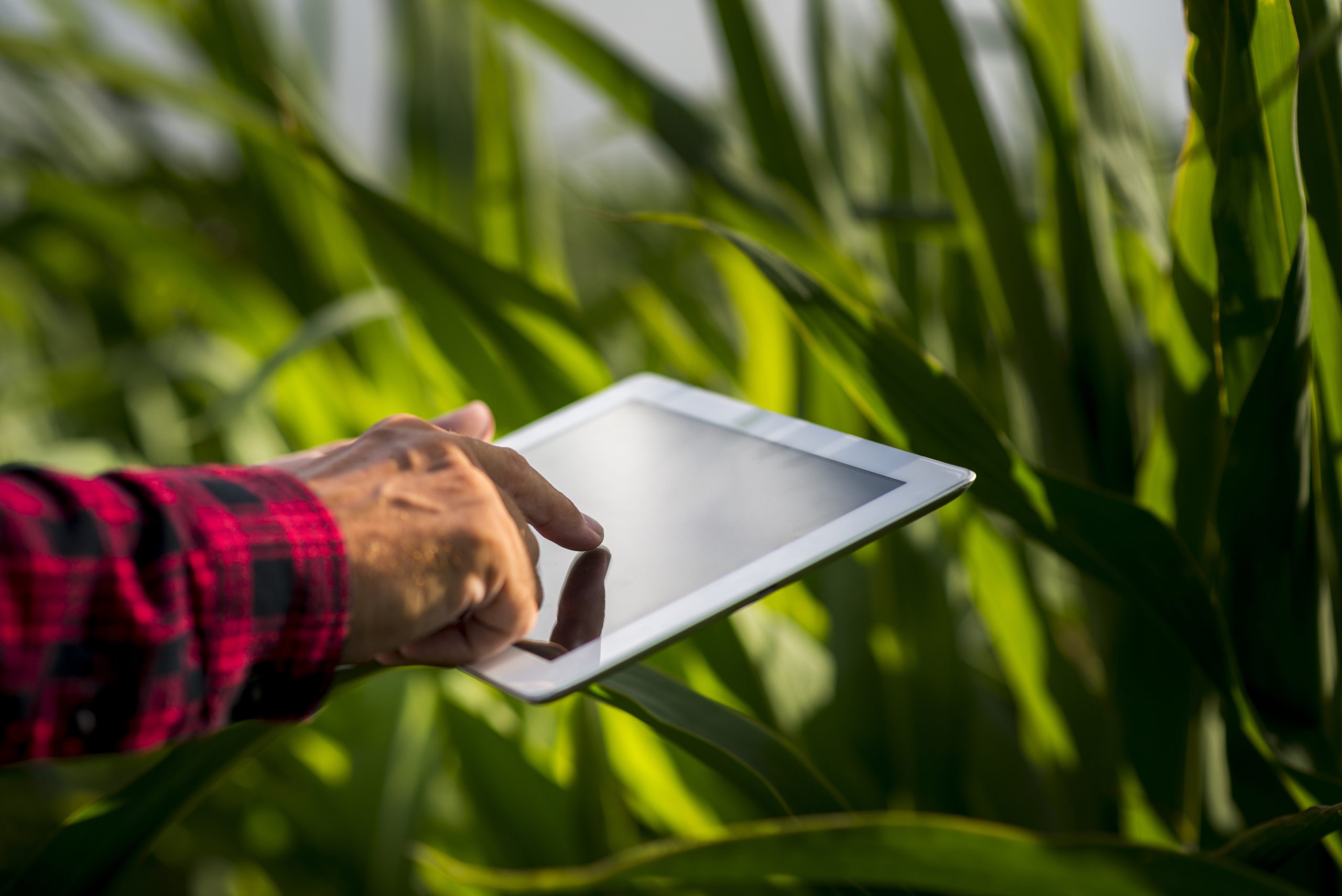
Enhancing Crop Management with Real-Time Data
Real-time data is the backbone of precision agriculture. Farmers can now rely on real-time sensors and satellite imagery to gain up-to-the-minute information about their crops. By analyzing this data, farmers can better understand weather patterns, soil conditions, and crop health. This level of precision allows them to make timely decisions that can drastically affect crop outcomes. For instance, knowing exactly when to irrigate or apply fertilizers can make the difference between a successful harvest and a failed one.
Precision Agriculture and Sustainable Farming
One of the most significant benefits of precision agriculture is its positive impact on the environment. By using data to guide decisions, farmers can minimize the use of water, fertilizers, and pesticides. This not only lowers costs but also reduces the environmental footprint of farming. For instance, precision irrigation systems use geospatial data to ensure that crops receive the right amount of water at the right time, avoiding overwatering and conserving water in drought-prone areas.
The Impact of Soil Health on Crop Yield
Soil health is crucial to the success of any farm, and geospatial technology provides invaluable insights into the condition of soil across a farm’s landscape. By analyzing soil properties such as texture, moisture, and nutrient levels, farmers can make informed decisions about what crops to plant, where to plant them, and how to manage soil health. This leads to optimized crop yields and ensures that soil remains fertile for future generations.
Geospatial Technology in Pest and Disease Management
Geospatial technology also plays a vital role in pest and disease management. Through real-time monitoring, farmers can detect early signs of pest infestations or disease outbreaks. This allows them to intervene at the right time, reducing crop loss and minimizing the need for chemical treatments. Precision spraying, for example, uses geospatial data to apply pesticides only where needed, which helps to reduce environmental contamination and promotes safer food production.
Drones and Aerial Monitoring
Drones have emerged as a powerful tool in precision agriculture, providing farmers with aerial views of their fields that were once impossible to obtain. Equipped with high-resolution cameras and sensors, drones can capture detailed images of crops, identifying areas of stress or poor growth. This enables farmers to take immediate corrective action, such as adjusting irrigation or applying fertilizers to specific areas, without having to physically inspect every part of the field.
Improving Irrigation Efficiency with Geospatial Data
Water management is a critical aspect of agriculture, particularly in regions facing water shortages. Geospatial technology offers farmers insights into the most efficient irrigation methods. By analyzing data on soil moisture levels, weather forecasts, and crop water needs, precision irrigation systems ensure that water is applied only where and when it is needed. This reduces water waste and helps maintain crop health during dry seasons.
The Future of Precision Agriculture
The future of precision agriculture looks promising, with advancements in AI, machine learning, and IoT (Internet of Things) poised to take farming to the next level. AI-driven predictive analytics can help farmers anticipate weather patterns, crop diseases, and pest outbreaks. Machine learning algorithms can analyze complex datasets to provide farmers with actionable insights that improve decision-making. As these technologies become more accessible, the global adoption of precision agriculture is expected to increase.
Conclusion
At Envision Beyond, we are committed to helping farmers harness the power of geospatial technology to optimize their agricultural practices. Our innovative solutions are designed to provide farmers with accurate, real-time data that enhances crop management, boosts yields, and reduces environmental impact. By making precision agriculture more accessible to farmers of all sizes, we are empowering them to feed the world more efficiently and sustainably.
In a world where the demand for food is rapidly increasing, precision agriculture powered by geospatial insights offers a sustainable and efficient solution. By leveraging advanced technologies, farmers can optimize their operations, reduce waste, and protect the environment. At Envision Beyond, we are dedicated to supporting farmers in their mission to feed the world, one geospatial insight at a time.